N.A.

E34 / SF Bay
Apparently there is now the possibility that GPS could be taken out not locally, but ocean-wide:


Offshore I always carry a (plastic) sextant and the appropriate manuals, but... I don't really know how to use them. I think I might put a little more time into figuring that out before heading really far out.

Separately, I have become almost totally dependent on my chartplotter... not even bothering to log positions during day-trips. Even for local stuff outside the bay I think I will step up my log-keeping just so I can DR if need be / the fog comes in (as it can here.)

Everyone's risk profile will vary; mine was "I have 4 independent GPS sources on board, two of which have chart plotting... why do I need any further backup?" Considering current geopolitical uncertainties I think maybe a slight improvement in my backup plans wouldn't be a bad idea; I'll keep it simple though, since life is so much simpler just using the chartplotter : )
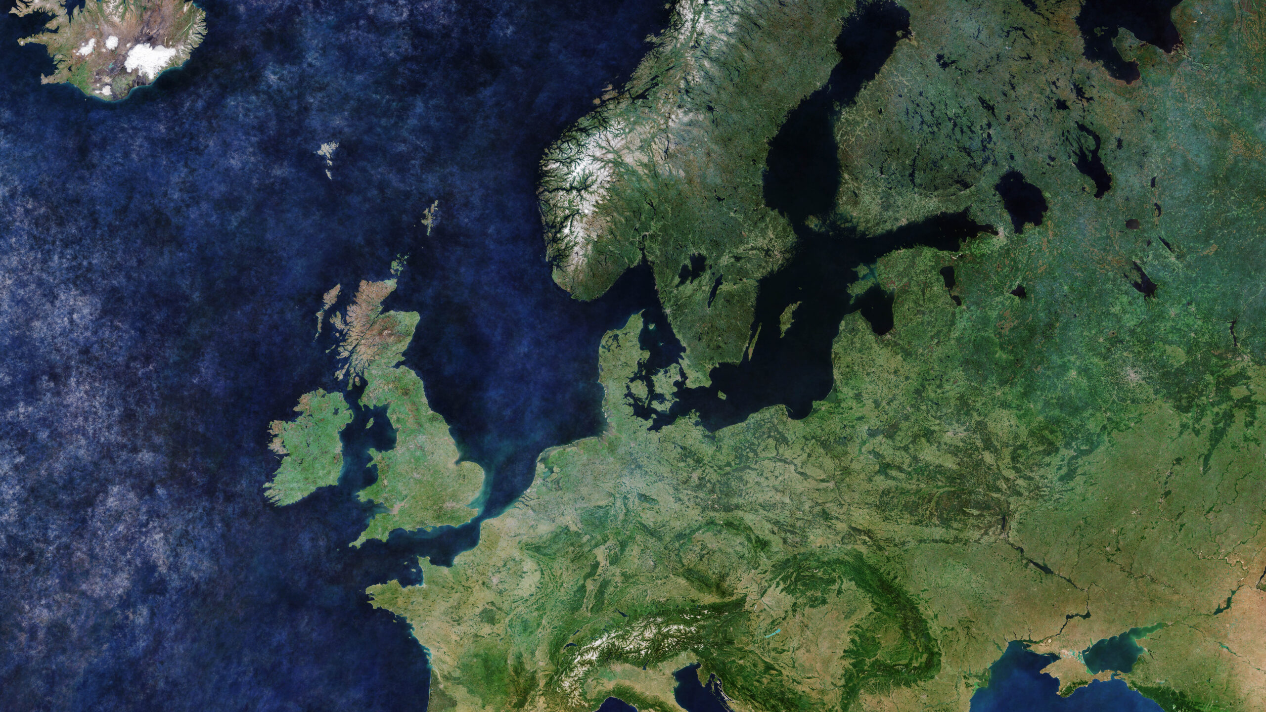
 

Christian Williams

E381 - Los Angeles
Senior Moderator
Blogs Author
Yes, GPS signal jamming or degrading is possible, and already apparent when sailing past bases near Point Conception, CA.

But wholesale degradation of GPS would disrupt or stop all civilian commerce, and is therefore a WW III scenario for which, it seems to me, a plastic sextant is not a likely solution. Nor is anything else.
 

gareth harris

Sustaining Member
There is an area of warfare known as the 'grey zone', which causes adversarial states difficulties while stopping short of WWIII. It has been growing around the world over the last few years, including hacking the computers of commercial firms, Russian oil tankers dragging their anchor chains over fibre optic connections on the sea bed, and Chinese warships sounding their sonars when Australian divers are down.

Since the signal from satellites in orbit is weak, it is fairly straightforward to transmit a stronger signal from the ground which is picked up by receivers and causes an erroneous GPS location. A encrypted code is transmitted from the satellites to military receivers which cannot be interfered with the same way, but trying to send commercial ships aground, or even cause airliners to crash, by distorting GPS could potentially become a grey zone act. Signals have been distorted in the vicinity of Ukraine, sometimes causing drones fired from Ukraine into Russia to be diverted to hit Latvia instead, and anybody sailing in the Baltic would to well to double check navigation. I am not aware of it being done elsewhere, but we need to keep its possibility in mind.

Beyond that, using a sextant will always gain respectability with old salts.

Gareth
Freyja E35 #241 1972
 

bgary

Advanced Beginner
Blogs Author
Offshore I always carry a (plastic) sextant and the appropriate manuals, but... I don't really know how to use them. I

If interested, I highly recommend David Burch's self-study textbook. Very good approach for working through the concepts and practices.


And while a plastic sextant will get the job done, it is not very precise. A "real" sextant doesn't have to cost a fortune - my Celestaire cost something like $800 and IMO is every bit as good for purpose as the more expensive Tamayas, Cassens-Plaths, etc (although I do wish I hadn't sold my Weems and Plath. Just because it was my partner for an awful lot of miles)

I still do celestial from time to time, just because I enjoy keeping the skills (somewhat current). Last summer on my vacation cruise I sat on the dock and confirmed that the Rosario Resort marina is, indeed, where the charts show it should be.

If truly interested, I have made some sight-reduction forms (based off but modified from Burch's) which - I think - make it harder to make simple errors when working the math.

$.02
 

N.A.

E34 / SF Bay
@Christian Williams -- Are those GPS-jammed areas near Pt Conception shown on the charts, so you know? Or is it just "local knowledge"? Someday I hope to wander down the coast that way; I hear the Channel Islands are awesome, the recent fire notwithstanding.

More generally, GPS "spoofing" is also a thing for more localized regions -- China uses it to hide what ships are where in various ports, and I think Russia does this too. I tend to wonder how hard it is to do these things -- I am not sure it has to be a state actor to do something like that anymore (well, jam -- spoofing is surely harder given the precision of the timing signals.) But the US Navy is taking it seriously -- celestial nav has apparently been re-added to the Naval Academy curriculum in recent years.

But aside from (really very) mild paranoia on my part, the article just served to remind me how dependent I've become on the chartplotter in recent years. After all, I did everything by chart for most of my sailing life, and could do it fairly quickly. Now I wonder how fast I'd be if the fog came down. And the chart I used to keep in the cockpit* is now always down below under a bunch of stuff in the chart table, and out of date. I'm thinking of just thinking of trying to knock a bit of the rust off some of the skills. And not discover, should something go wrong (even just with my electronics) that I didn't have the right sight-reduction tables, or couldn't figure out some textbook while at sea.

@bgary -- thanks for the reminder re: that book. I had grabbed one by the same guy (who wrote a great Marine Weather book, BTW). Based on how much I liked that one, I grabbed "Hawaii by Sextant", basically a book giving DRs and start sights for a trip from Vancouver to Hawaii in the 1980's that you can use to work through the entire passage in terms of the sight reductions. It's my summer project; my reward to myself if I complete it will be one of those metal Celestaire (Astra) sextants :)

* Cockpit charts -- I have one in a nice vinyl zip-lock cover that fits a chart folded to still leave a good-sized area (might be 17x24 or something; I keep it folded in half). The sailing place I used to buy them closed, and now I can't find anything comparable; ones on Amazon are too stiff to easily use/fold, and typically too small. Do any of you have a preferred chart cover you use for a cockpit chart?

PS: I like Starpath's attitude: They have Starpath hats you can buy, which they declare, "The first thing to hide if you ever get lost!"
 

Christian Williams

E381 - Los Angeles
Senior Moderator
Blogs Author
Are those GPS-jammed areas near Pt Conception shown on the charts

Not that I know of, it's just anecdote. Happened to me twice, returns from Hawaii. The Vesper ship alarm goes dead near Vandenberg Space Base. Takes an hour or two to resume, which is worrisome and never happens anywhere else. I think it was Ignacio here who noticed same thing when coming down the coast from San Fran.
 
Top